
During the archaeological investigations at Drybread we are not just looking at the cemetery, but we are also looking for evidence of the places where these people lived and worked: the Drybread Diggings. Drybread was a small goldfields canvas town that like many others sprang into existence in the early 1860s during the Otago Goldrushes, but has now disappeared. We wanted to know where this ephemeral town once stood, and what was it like to live at the diggings.
We did have a few lines of evidence to start with, including an 1869 drawing of the town as it appeared then by Andrew Hamilton, and several early maps…

The only map to actually show the Drybread settlement was drawn in 1868, but unfortunately many details were only sketched in, meaning the town location was inaccurate. Hamilton’s drawing proved much more useful, and we were able to match up the skyline he drew with the skyline today.
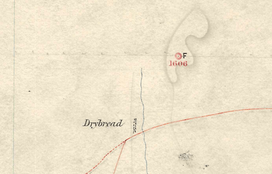
Unfortunately the results were disheartening (from an archaeologist’s perspective), as we found that the old town had stood beside a stream that was later used as the sludge channel from the gold workings, meaning that the town site was deeply buried under old tailings.
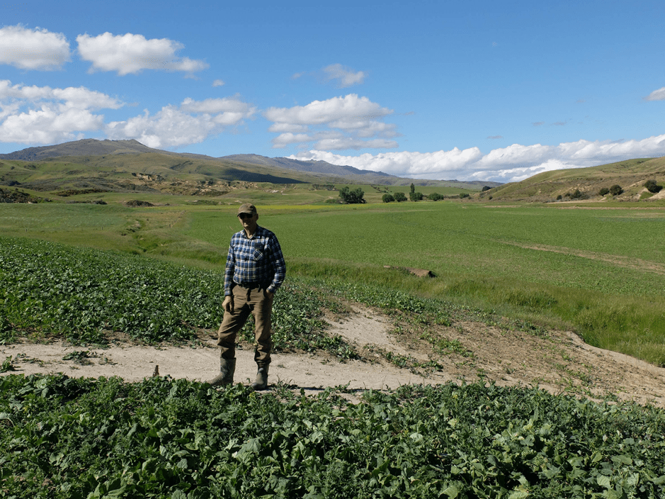
Undeterred we then started to look at some of the scattered hut and occupation sites around the diggings. In the goldfields the townships often served as service and entertainment centres (in other words, pub locations), but many of the diggers actually lived in huts scattered through the diggings. In April 2021 we struck lucky: in an area marked by several very old poplar trees our test pits found a nineteenth century midden (rubbish concentration) and the base of the wall of a hut or structure.
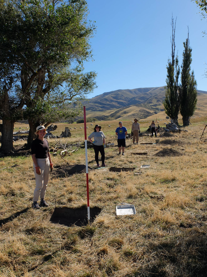
Digging test pits amongst old poplar trees at Drybread in 2021.
The midden contained butchered beef and sheep bone, as well as rabbit and (as yet unidentified) bird bone, giving us an indication of the miners’ diet. There was also an embossed lead foil from the top of a Norwegian cod liver oil bottle, giving an idea of their medications as well. This is a site that we intend to return to in order to find out more about life at early Drybread.

Peter Petchey, April 2021

Hello How do I set up a password for your website? Thanks Richard Buckley
>
LikeLike
Kia ora Richard – you don’t need a password, don’t worry. We just had the latest post password-protected while we did the final checks on it. It’s all available for you now though!
LikeLike